
METAR & TAF Weather : CEILING
CEILING turns raw aviation weather into a clear, ten-second read.
Install on your iPhoneScan with your phone camera.
Screenshots



About METAR & TAF Weather : CEILING
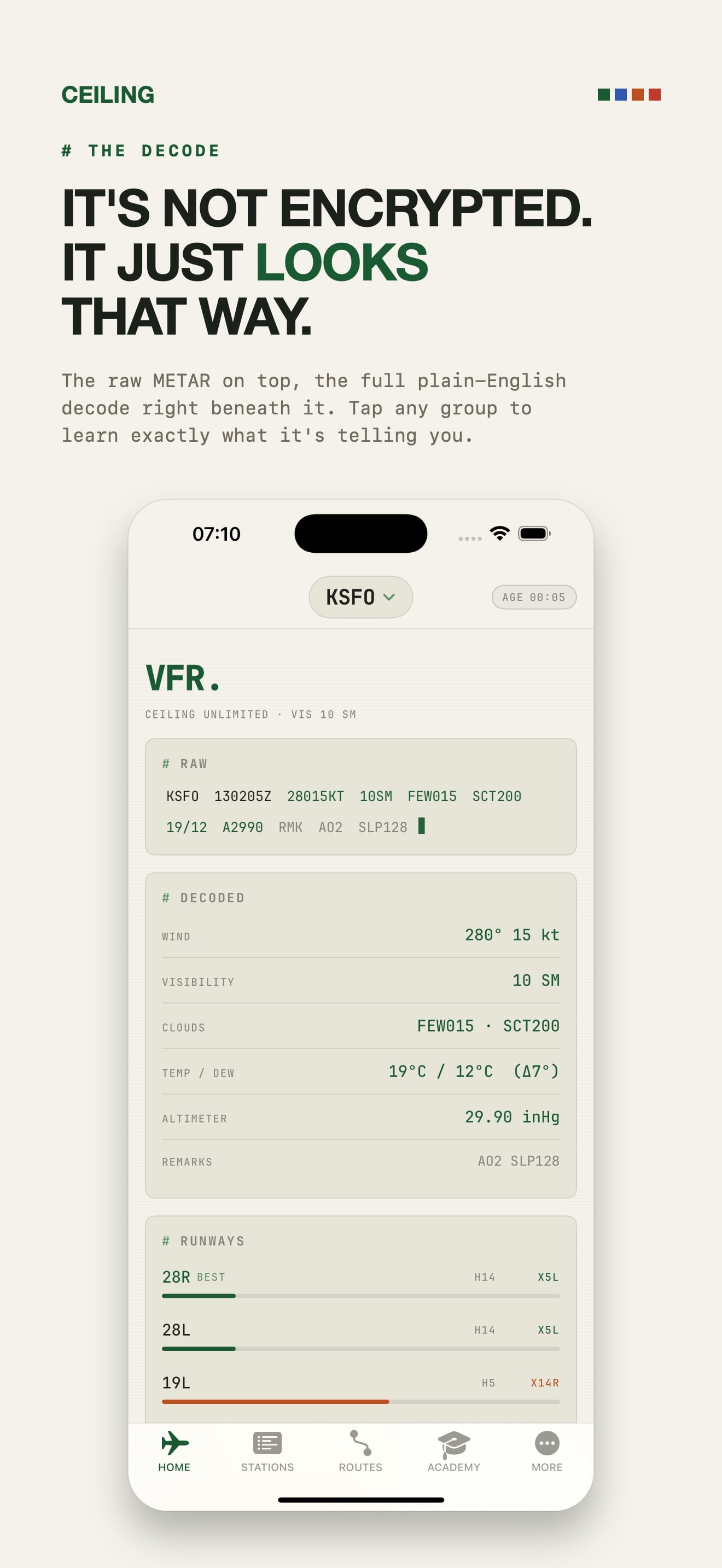
CEILING turns raw aviation weather into a clear, ten-second read. Enter any airport and instantly see whether it is VFR or IFR, what the ceiling and visibility are doing, and how the wind lines up with every runway. Built for pilots who want the answer, not just the data.
WHAT YOU CAN DO
- Decode any METAR and TAF into plain English, formatted and color coded by flight category
- See ceiling, visibility, wind, gusts, temperature, dew point and altimeter at a glance
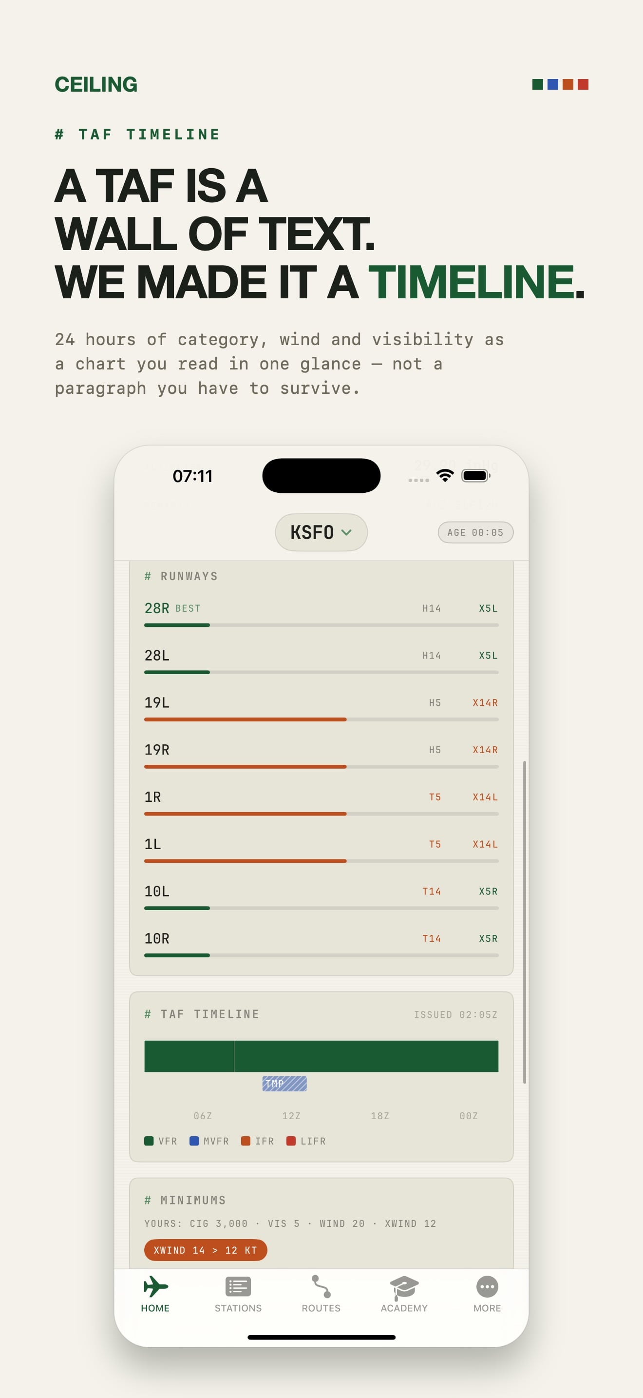
- Read a runway crosswind and headwind heatmap for every runway end, ranked best to worst
- Follow a visual TAF timeline that shows exactly when conditions change
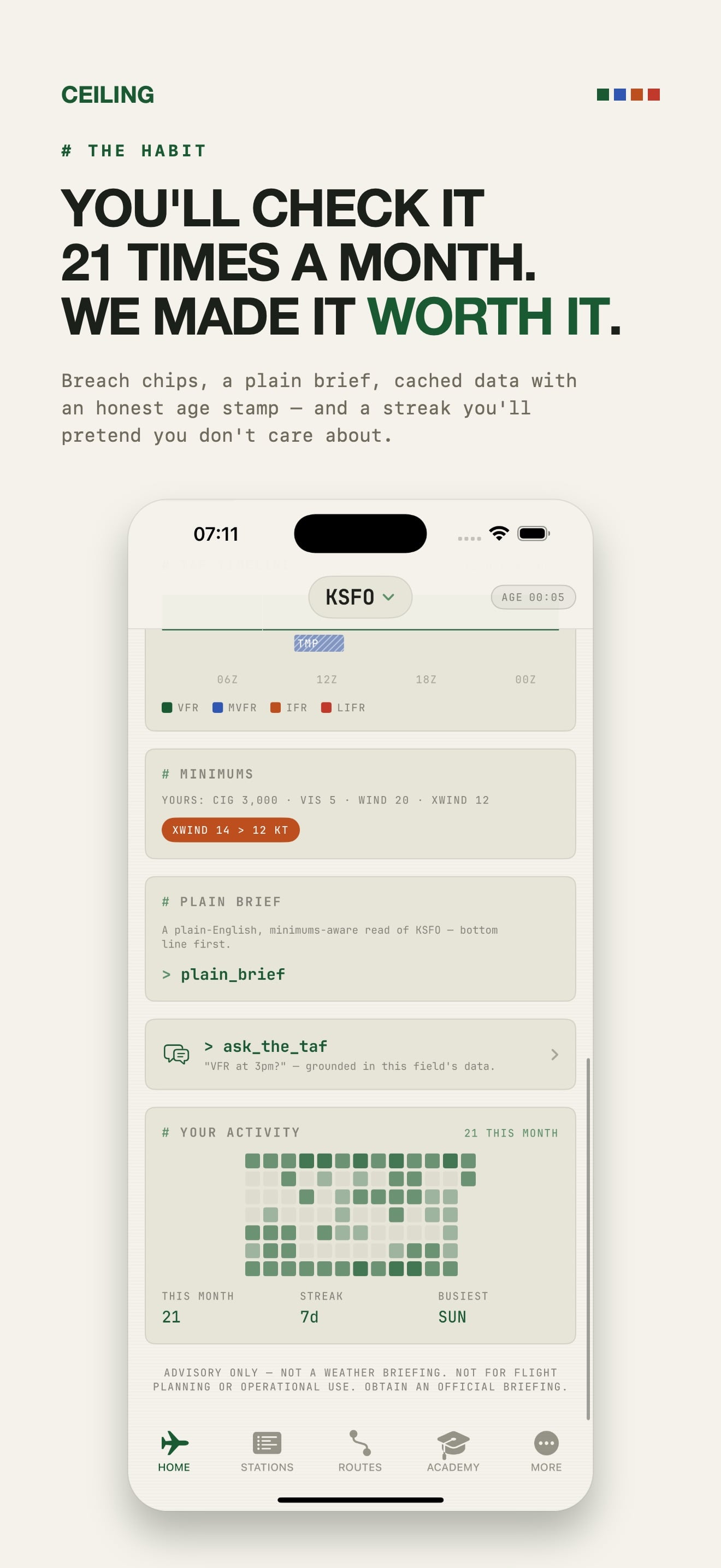
- Get clear, plain English AI briefings that read the weather against your own personal minimums
- Ask natural questions about a forecast and get a grounded, field specific answer
- Track all of your fields on one live board, color coded by condition
- Save the routes you fly and brief every leg in a single glance
- Set condition alerts so you know the moment a field changes
- Learn to read raw weather with a built in academy that takes you from beginner to confident
WHY PILOTS CHOOSE CEILING
- No ads, ever. Nothing stands between you and the weather
- Your privacy is respected. There are no accounts and no sign in, and your fields, routes and history stay on your device
- Weather comes straight from the U.S. National Weather Service Aviation Weather Center
- Built with care. One clean typeface, honest data age indicators, and a fast, focused interface
- Works beautifully on both iPhone and iPad
MADE FOR
- Student pilots learning to read METAR and TAF
- VFR and IFR pilots checking their home field and destinations
- Flight instructors and ground school students
- Drone operators and dispatchers who track many fields at once
- Anyone who wants aviation weather that is fast, clear and honest
CEILING is an advisory tool that helps you read publicly available weather. It is not a source for official flight planning or an operational weather briefing. Always obtain an official briefing before any flight.
Terms of Use: https://www.apple.com/legal/internet-services/itunes/dev/stdeula/
Download on the App Store
CEILING turns raw aviation weather into a clear, ten-second read.

Related apps
Northern Lights Forecast : KP
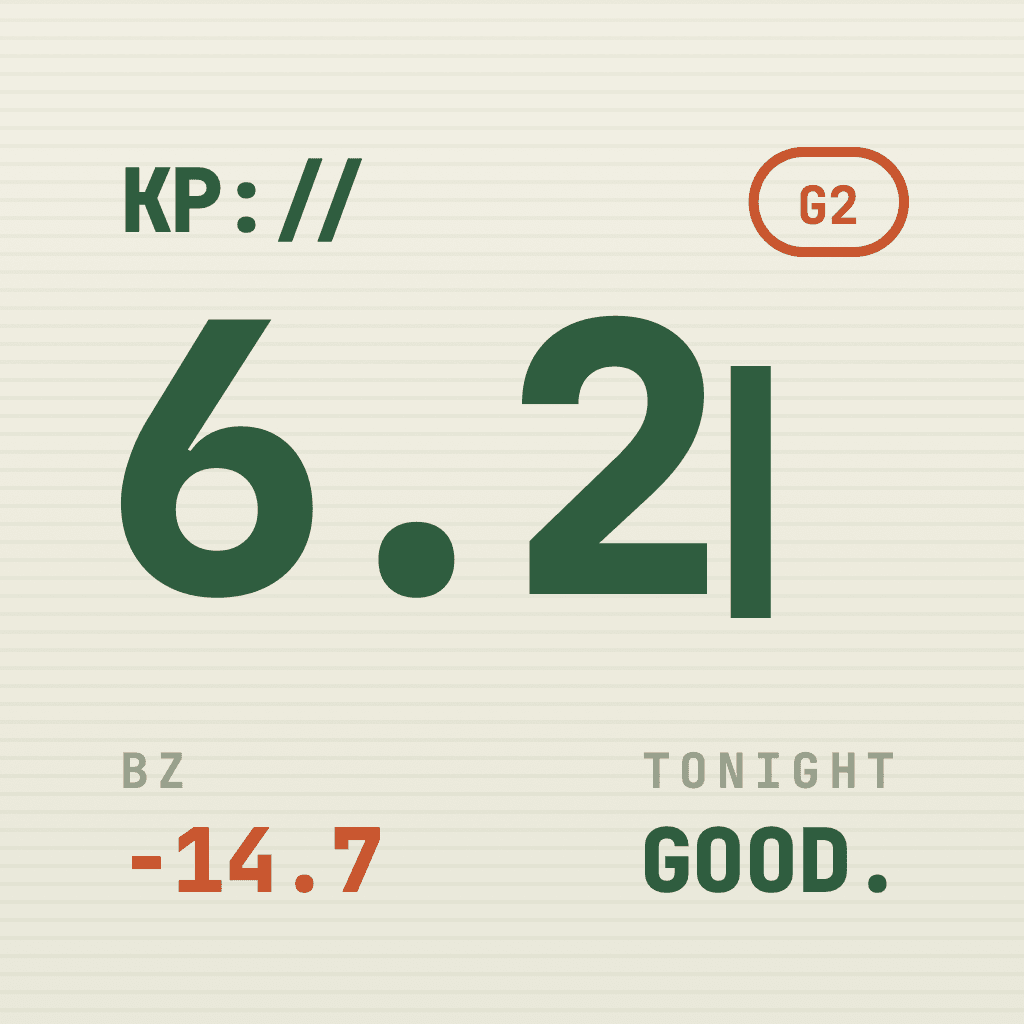
Northern Lights Forecast : KP turns live space weather into one clear answer: is tonight worth heading out to watch…

Travel Map Tracker : Terra Mea
Terra Mea turns the photos already on your iPhone and iPad into a beautiful, private travel map.

Equipment Maintenance: IRONLOG
IRONLOG is the maintenance log for field equipment.

Report Card Comments : REMARK
REMARK turns a ten second note about a student into a finished report card comment.